More Wind Gusts, Snow To Hit Magic Valley By Week’s End
Many regions of southern Idaho experienced the first substantial snowfall in months over the past 48 hours. Twin Falls residents can expect a brief, mid-week break, only to be followed by more unsettled weather on Thursday and Saturday.
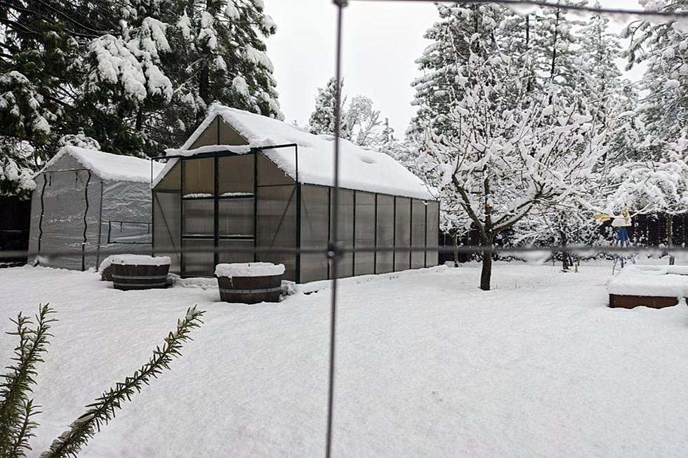
Photographs of snow-filled front yards and tree limbs flooded social media Tuesday following a cold front that passed through southern Idaho. I heard that winds reached nearly 70 miles per hour in some areas of the Magic Valley on Monday. Downed fences and trees are just a fact of life throughout the state this time of year.
The weather forecast for Twin Falls on Wednesday is calling for just a 24% of rain and a daytime high near 32 degrees, so snow is a possibility. The likelihood for snow increases on Thursday to 50%, and winds will gust between 15 and 20 mph. Saturday brings the next good chance for snowfall by evening.
Conditions this weekend will be ideal for those heading to the south hills to hunt for Christmas trees. Next week, it doesn't appear snow will be likely for the Twin Falls area until the latter part of the week. Remember to keep those walkways around your home from freezing to avoid injury.
I awoke to about four inches of snow myself Tuesday morning, but thankfully the winds didn't wreak havoc like they did in other communities. City crews worked to restore power Tuesday in areas such as Pocatello, Blackfoot and Mountain Home. For information on outages, click here.
Beautiful Hoarfrost In Twin Falls
7 More Must See Places In Twin Falls
Poleline Log Cabin
New Arctic Circle Restaurants Open In Southern Idaho
Idaho Moose

More From 95.7 KEZJ