SNOW: 2 More Cold Fronts To Pass Through Magic Valley ID By Sat
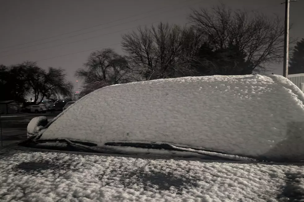
Many Southern Idaho residents woke Tuesday morning to snowfall as the first of three approaching systems arrived overnight. By noon, most of the snow below 4,000 feet had melted, leaving a soupy mess on Magic Valley roadways.
It's beginning to look a lot like mid-November throughout the Magic Valley. Christmas music is playing on the radio, city decorations have been put up, RVs are being covered in driveways, and cold fronts are lining up.
Tuesday morning's low-pressure system didn't amount to much in the way of snow. Another, slightly more powerful storm is expected to blanket the region as we get closer to the weekend, with another mild one arriving tomorrow afternoon.
Two More Low-Pressure Systems Forecasted To Pass Through Southern Idaho By Friday Evening

According to the latest from The Weather Channel, showers return Wednesday evening and will likely produce snow in the mountains and lighter accumulations at low-desert elevations overnight into Thursday. Highs will eventually climb back into the mid-40s on Thursday.
READ MORE: Starbucks Limited Holiday Cups Out In Twin Falls
The final round of unsettled weather is supposed to arrive in the region Friday morning with a more than 70 percent chance of a rain/snow mixture, according to The Weather Channel. Saturday is looking to be dry, with temperatures warming back into the 40s.
Stay warm over the next couple of days and drive carefully during the morning and afternoon commutes. Don't forget, people are in need of blankets this time of year, so donating extras you might have to area shelters and kennels would be a great gesture.
Happy Holidays, Southern Idaho!
Idaho Homeowners Should Do These 5 Things Before The First Winter Freeze
Gallery Credit: Credit Nate Bird
More From 95.7 KEZJ