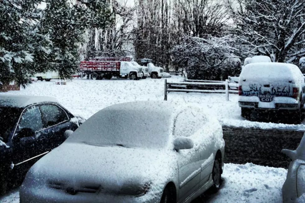
More Snow on the Way: Winter Storm Watch Issued For The Magic Valley
The National Weather Service in Boise has issued a Winter Watch for the Magic Valley Friday, February 22nd until Saturday, February 23rd.
The Magic Valley could see an additional 2 to 4 inches of snow on the valley floors and wind gusts up to 60 mph on Saturday.
From the National Weather Service:
Winter Storm Watch for The Magic Valley
An unusually strong storm from the Gulf of Alaska will bring snow and wind to Idaho Friday night and Saturday. Heaviest snow will fall in the Idaho mountains North of the Snake River Basin. Elevations below 4500 feet will have rain at first but will change to snow as a strong cold front moves through in the predawn hours Saturday.
Strong winds along the front and then later again on Saturday will cause blowing and drifting of snow.
Winter Storm Watch in effect from Friday evening through Saturday afternoon
The National Weather Service in Boise has issued a Winter Storm Watch for the Western Magic Valley, Southern Twin Falls county, and the Southwest Idaho Highlands which is in effect from Friday evening through Saturday afternoon.
- Snow Amounts: 4 to 7 inches possible in the mountains and 2 to 4 inches possible in the western Magic Valley.
- Snow Levels: 5,000 feet until cold front passes during the predawn hours Saturday. Snow level will quickly fall to valley floors behind the front.
- Winds: Southwest 15 to 25 mph before frontal passage, then West 30 to 40 mph with gusts to 50 mph possible as the front passes. Strong winds will continue Saturday especially in the Western Magic Valley where sustained winds of 40 mph with gusts to 60 mph may occur.
Precautionary/Preparedness actions
A Winter Storm Watch means there is a potential for significant snow, sleet, or ice accumulations that may impact travel. Travel hazards are expected on all area roads. Snow and wind will likely reduce visibility.
More From 95.7 KEZJ